The Great Heuberg
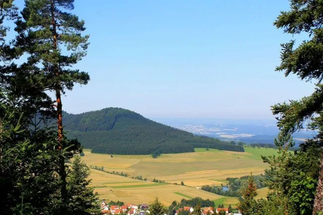
The Großer Heuberg, commonly known simply as the Heuberg, characterizes the entire north-east of the Donaubergland. 16 of the 19 municipalities of the Heuberg are located in the Donaubergland, on the highest heights of the Swabian Alb.
Here, where the Swabian Alb rises to over 1000 meters, in the region of the 10 Thousanders, the high forested mountains of the Donauberglanddominate the landscape alongside the open, wide landscape of the plateau with its juniper heaths.
The region of the 10,000 meter peaks
They manage them allthe 1000 meters…
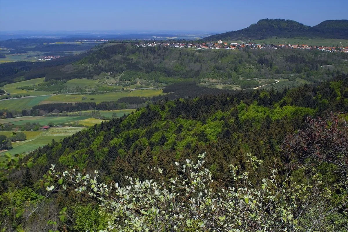
In the north of the Donaubergland, quite close to each other, are the 10 mountains that break the 1000 meter mark. Around Deilingen, Gosheim, Wehingen, Böttingen, Denkingen on the Heuberg up to the Klippeneck and the Dreifaltigkeitsberg on an area of 20km² are the Lemberg (1015m), the Hochberg (1008m), the Oberhohenberg (1010m), the Wandbühl (1006m), the Motschenloch (1004m), the Bol (1002m), the Rainen (1006m), the Hummelsberg (1002m), the Hochwald (1002m) and the Kehlen (1001m).
Nevertheless, neither climbing harness nor helmet are required…
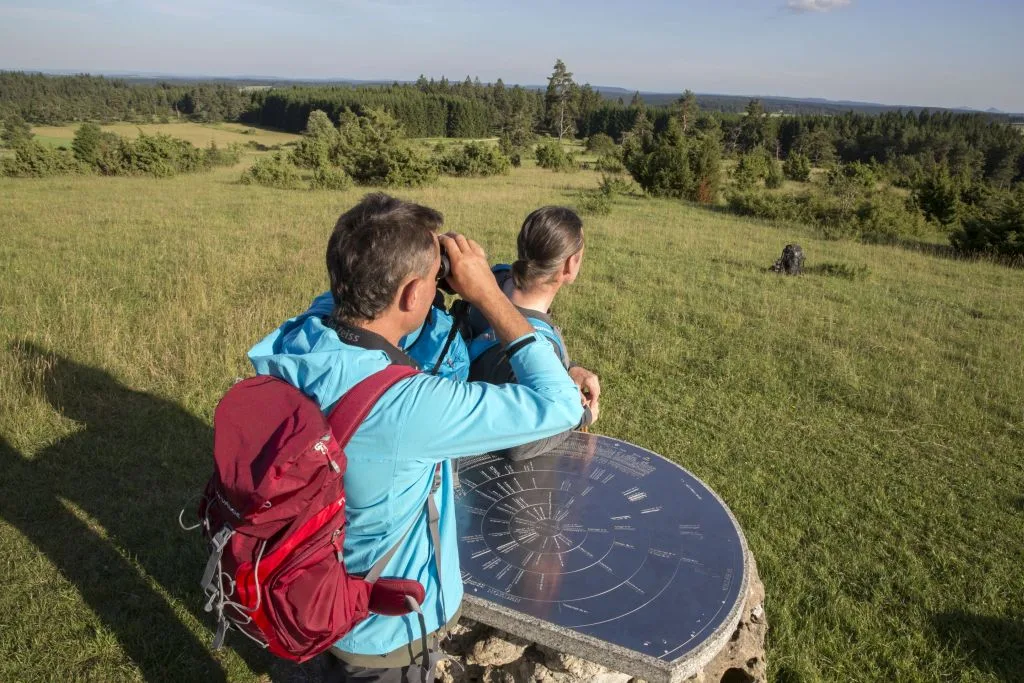
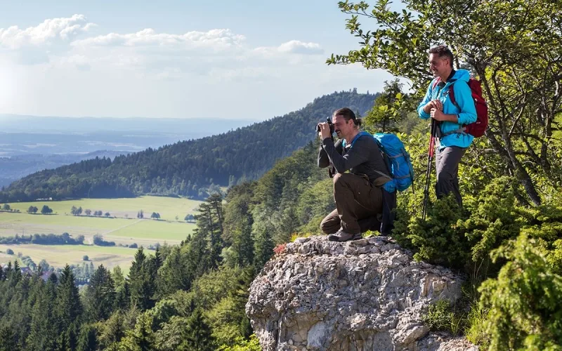
Hiking at the highest heights
A multitude of hiking trails await in the 10Tausender region.
The Donauberglandweg
Of course, the Donauberglandweg is outstanding and is now a “Leading Quality Trail – Best of Europe” in the European Liag of the most beautiful hiking trails. It starts at Lemberg, the highest point of the Swabian Alb and therefore also the Heuberg, near Gosheim.
The first two stages of this quality trail lead through the “Region of the 10 Thousanders”. On the first stage of the Donauberglandweg from Gosheim to Spaichingen to the Dreifaltigkeitsberg, you hike three “thousand-meter peaks”, the Lemberg, the Kehlen and the Hummelsberg.
The Donauberglandweg – From the Heuberg to the Danube Valley
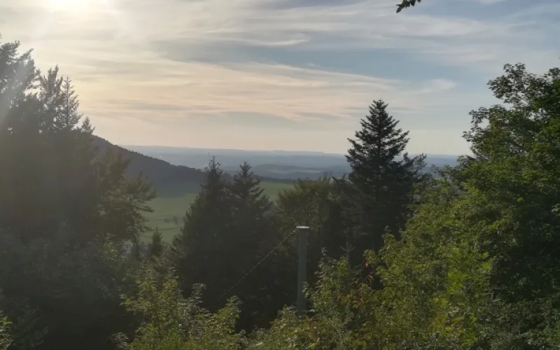
Impressions of the 1st stage of the Donauberglandweg
Impressions from the 2nd stage of the Donauberglandweg
DanubeWaves
Two of the six DonauWellen premium hiking trails are also located in the “Großer Heuberg” area. The Klippenecksteig around Denkingen and the Dreifaltigkeitsberg and the Alte Schäferweg around Mahlstetten and Böttingen.
Danube-Zollernalb Trail
The Donau-Zollernalb-Weg, which follows the Donauberglandweg, ends at the starting point of the Donauberglandweg, the Lemberg. This makes it the longest certified circular hiking trail in the southwest.
The Donau-Zollernalb-Weg also includes three “thousand-meter peaks”, starting at Oberhohenberg and continuing over the Hochberg to the top of the Alb, the Lemberg.
Circular trails in the 10Tausender region
An extensive network of hiking trails has been created in the 10Tausender region. The local signs are yellow circles on a white background.
In the tour finder, you can find more hiking trails at an altitude of over 1000 meters under the search terms Deilingen, Wehingen and Gosheim.
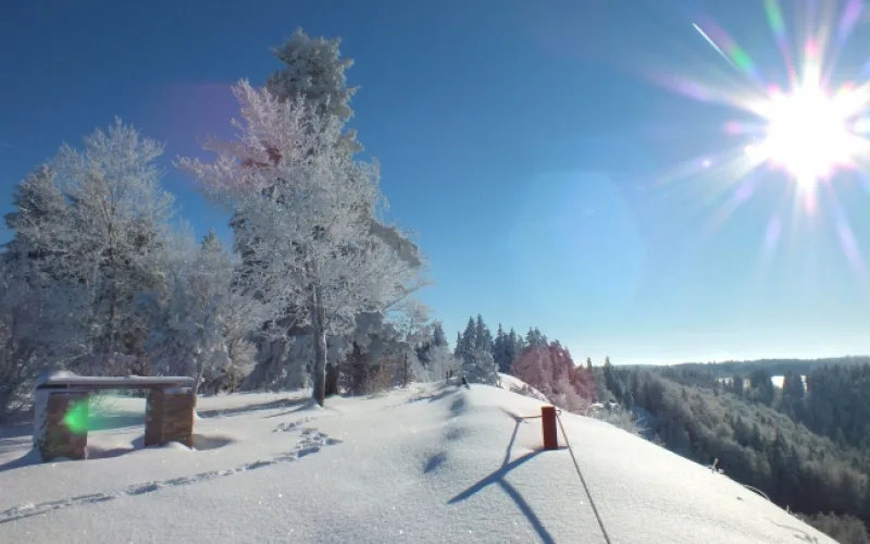
Winter paradise region of the 10Tausender
In winter, the region around the highest mountains in the Alb becomes a paradise for cross-country skiers.
More than 75 km of cross-country ski trails come together in the region within the Donaubergland. More than 27 trails await their runners. Some of the trails can also be combined, so that endurance skiers can also get their money’s worth.